Anaglyphs


Anaglyphs are 3D images created using imaging processing software (Adobe Photoshop, GIMP, etc.) from two source images acquired from slightly different angles.

These require the use of red-blue glasses to view in 3D.
Air Photos

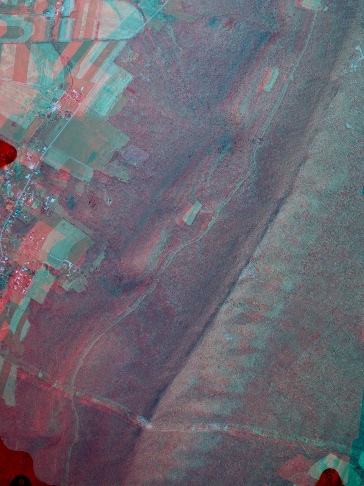
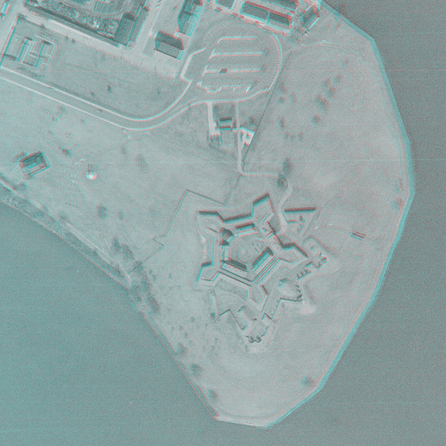
Historical air photos can be used to create anaglyphs of sites which show exaggerated topography.

Below is an example showing Fort McHenry in Baltimore in 1966.

(click on image for larger version)

This shows a part of Tussey Mountain on the border of Bedford and Blair Counties in Pennsylvania. Ridges are formed by the Tuscarora and Bald Eagle Sandstones.

(click on image for larger version)

Ground Photos

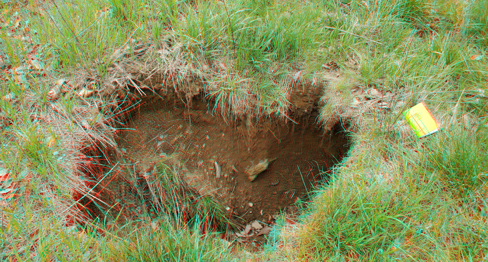
Below is an example of a sinkhole.

(click on image for larger version)

Below is a landscape from Smith Rock State Park in Oregon.

(click on image for larger version)